- 1,000 – 4,000
- Lot size, m²
- 104 ha
- Total area
- 248
- Number of lots
About
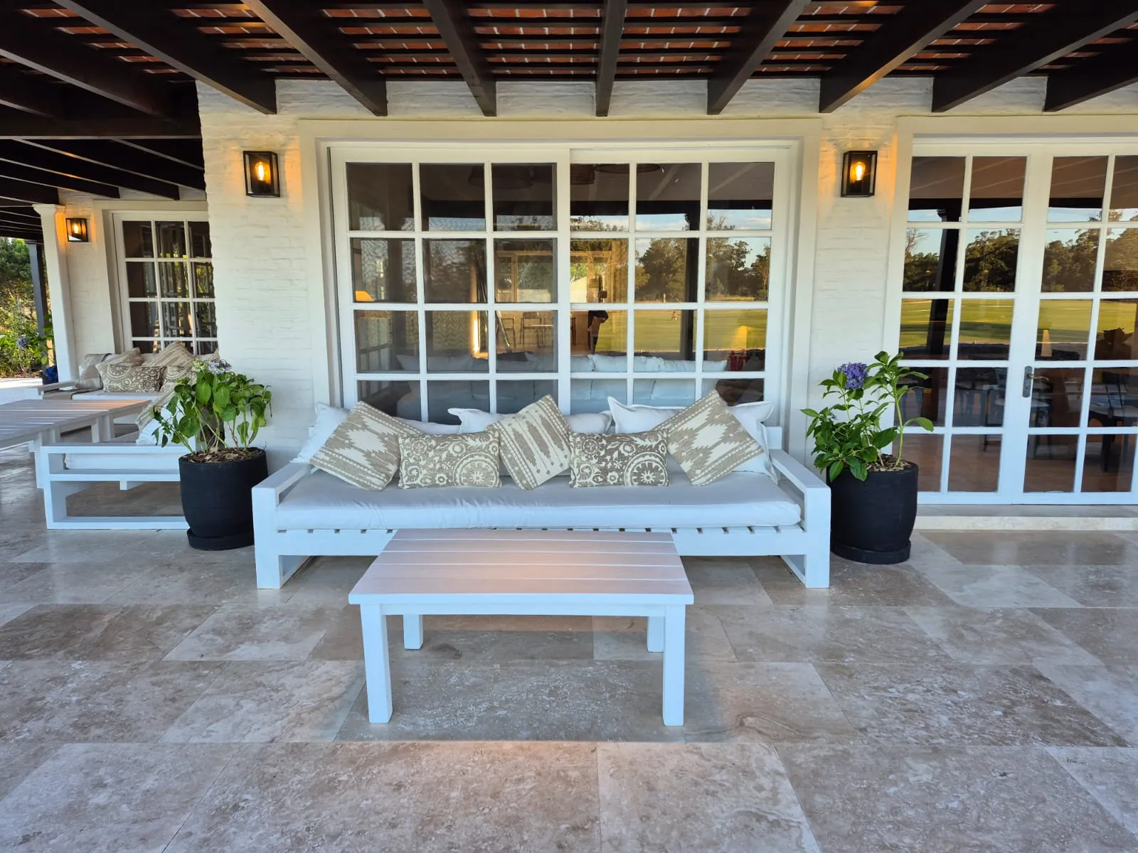
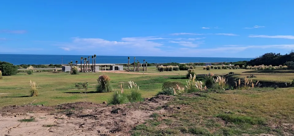
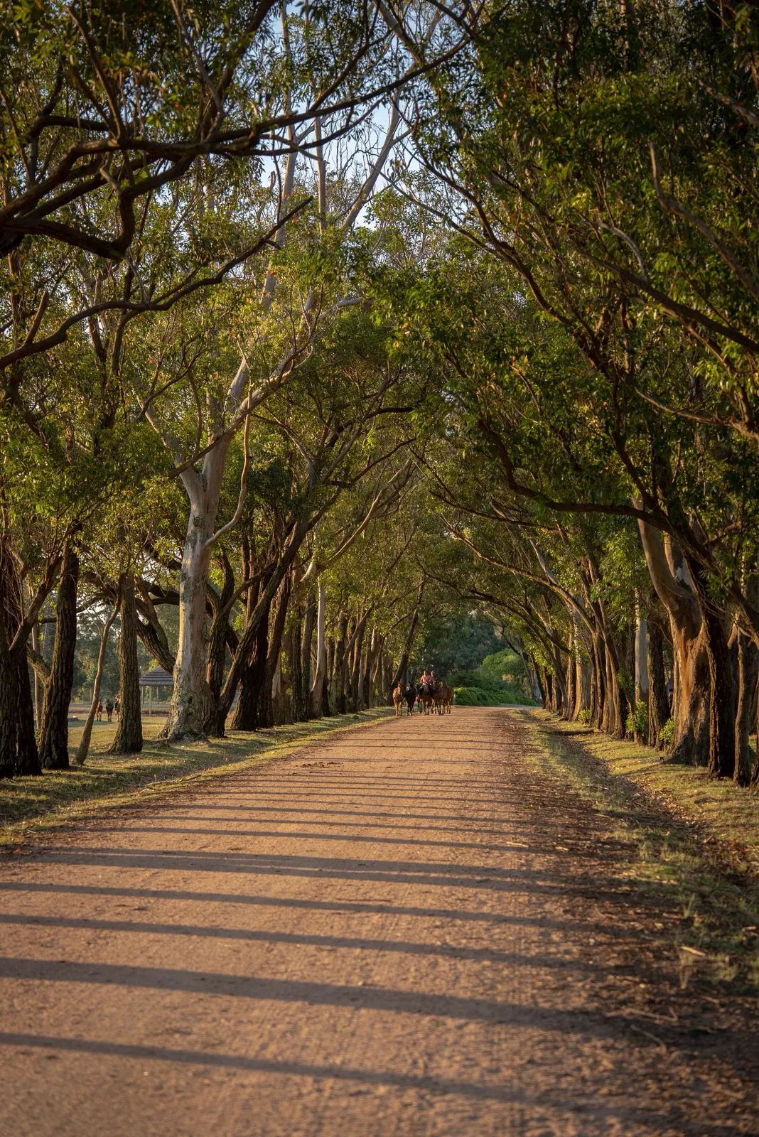
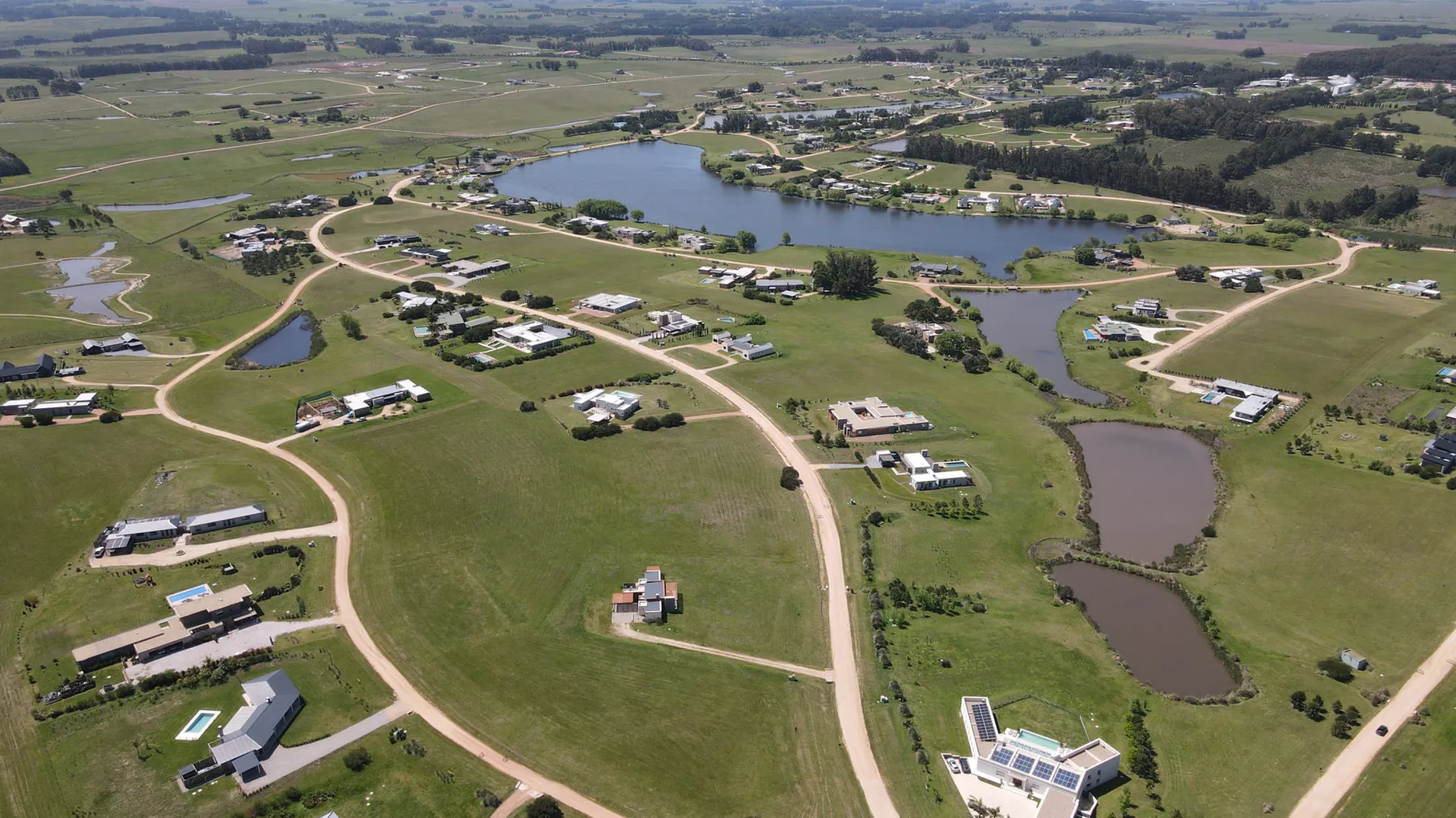
Punta Polo is a country club on Route 10 at km 172.1, in the Edén Rock area between La Barra and José Ignacio. It sits on the highest land along this stretch of coast, between the ocean and eucalyptus woods more than 50 years old, about 10 km from both La Barra and José Ignacio. It grew out of the first polo club in Punta del Este, whose clubhouse, The House, was built in 1988 in an English colonial style.
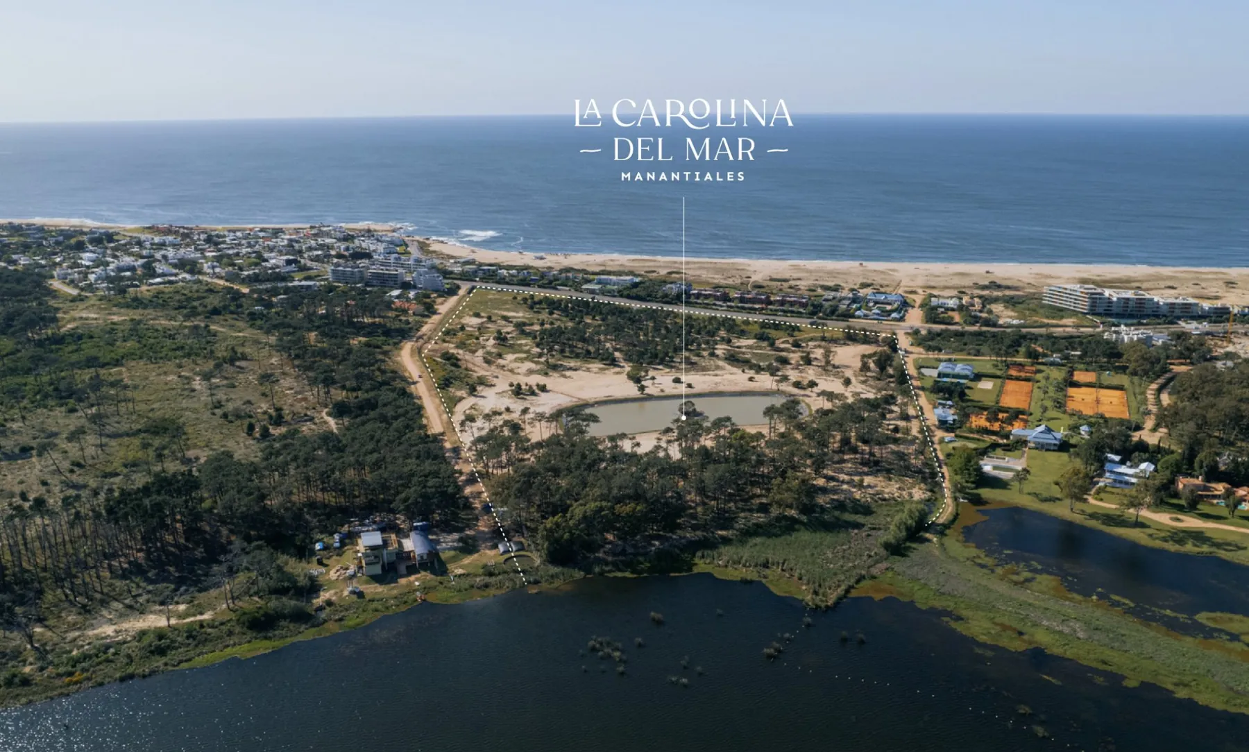
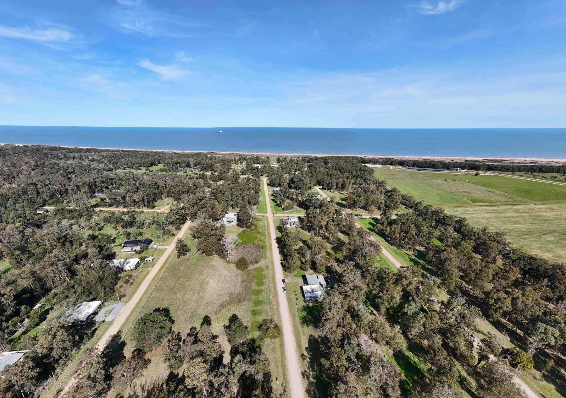
The Argentine developer EIDICO relaunched the project on a 104-hectare site, with more than 40 hectares kept as shared green space. The official site lists 248 plots of 1,000 to 4,000 m² in three sectors: Polo, with 80 farm plots of 4,000 m² facing the fields; Bosque, with 112 lots of 1,000 to 1,800 m² among the eucalyptus; and Mar, with 46 lots of about 1,270 to 1,590 m² with ocean views. Some agents quote 240 lots.
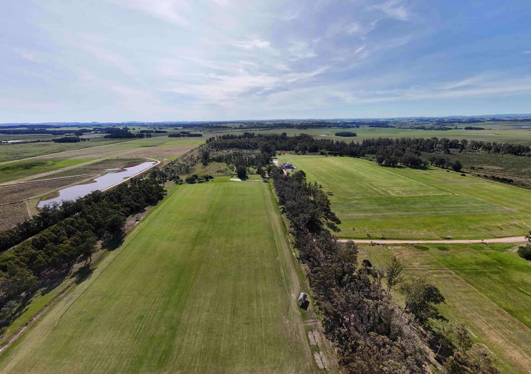
The club has two professional polo fields, tennis, padel and football pitches, a Social Club with a pool, sun deck and gym, and artificial ponds. Security includes 24-hour guards, controlled access, a perimeter fence and CCTV. Planned infrastructure covers roads, underground power, mains water, sewerage, landscaping and street lighting; according to an agent, lots over 4,000 m² use individual treatment plants.
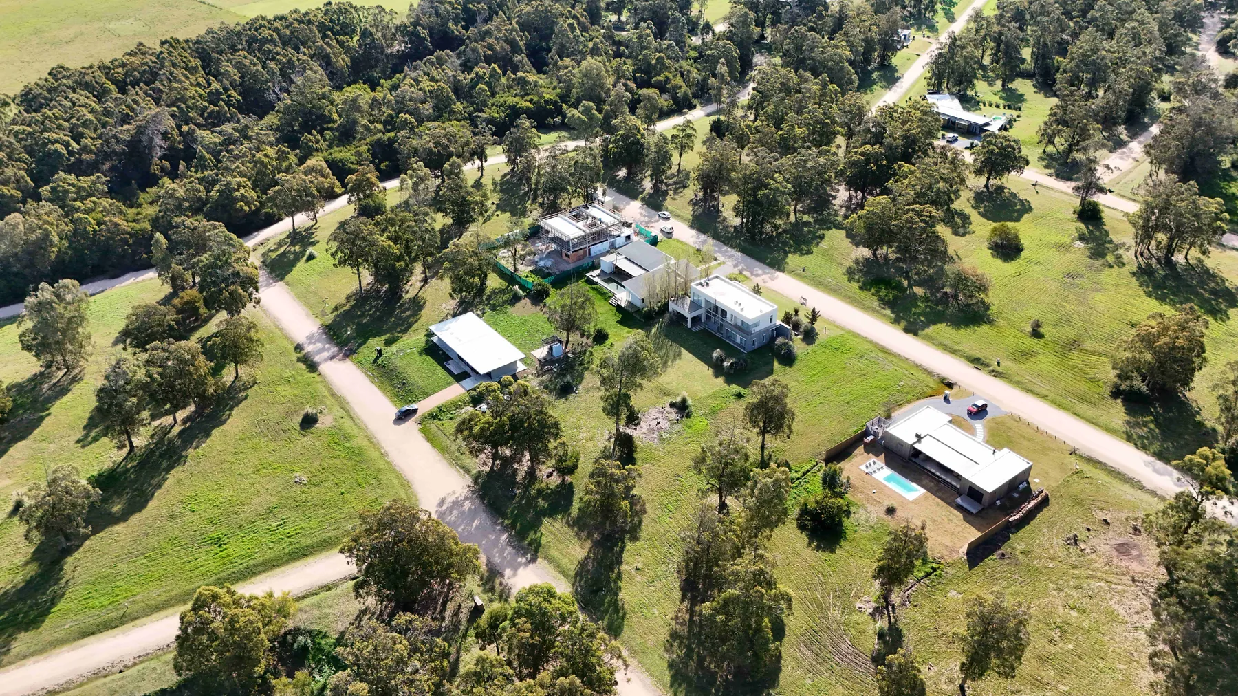
Architecture and planning rules steer homes towards a modern style with natural materials. Aerial photos already show built houses in the woodland sector. It suits buyers who want beach life, horses and country-club services in one place.
Photos
On site
- Club house
- Pool
- Tennis
- Padel
- Lagoons
- Equestrian
- Gym
- Sports fields
Fact sheet
Land
Costs
- Lot price
- no data
- Price per m²
- no data
- HOA fees
- no data
- Entry fee
- no data
Location
Building rules
- Minimum house
- no data
- Maximum height
- no data
- FOS (site coverage)
- no data
- FOT (floor area ratio)
- no data
- Time to build
- no data
- Legal regime
- no data
Utilities and security
Community rules
- Pets
- no data
- Short-term rental
- no data
20 fields are still missing. Do you live or sell here? Write to us and we’ll complete it.
Distances
By road, computed with OpenStreetMap and OSRM. Estimated driving time without traffic.
Towns and airports
- La Barra
- 12.1 km15 min
- José Ignacio
- 12.5 km13 min
- Maldonado
- 22.1 km29 min
- Punta del Este
- 22.8 km27 min
- Punta del Este airport
- 38.9 km49 min
- Piriápolis
- 58.3 km71 min
- Atlántida
- 108.8 km104 min
- Carrasco airport
- 136.1 km133 min
- Montevideo
- 153.7 km157 min
Nearest services
- Beach
- 0.5 km1 min
- SupermarketCharruas
- 4.8 km5 min
- Pharmacy
- 4.9 km5 min
- ClinicPoliclinica La Barra
- 12 km15 min
- HospitalHospital Británico
- 20.2 km25 min
- SchoolCEA 102
- 4.5 km5 min
- Gas station
- 4.4 km5 min
- RestaurantFilippo
- 9.9 km12 min
- Golf courseLa Barra Golf Club
- 10.9 km12 min
Location
Sources
Where each figure came from. Bracketed numbers next to values point to this list.
-
puntapolo.com Confirmed, checked on 30.09.2026
-
orbita.com.ar Single source, checked on 30.09.2026
Orbita (EIDICO): «Punta Polo, Ruta 10, Km 172,1»; 104 ha, >40 ha verdes; 2 canchas de polo, 2 de tenis, 1 de pádel, 1 de fútbol; Club House con gimnasio y pileta con lagunas; 240 lotes de 1.000 a 4.000 m² con seguridad 24 hs; reglamento de arquitectu
-
maps.app.goo.gl Confirmed, checked on 30.09.2026
-
barriosdeleste.com Single source, checked on 30.09.2026
Barrios del Este: Punta Polo, Ruta 10 km 172.100, zona Eden Rock; 240 lotes 1.000–4.000 m²; tenis, pádel, piscina, gimnasio, club house, seguridad, cancha de polo; lagunas artificiales; control de acceso, cerco perimetral y CCTV
-
project-osrm.org Estimate, checked on 30.09.2026
-
openstreetmap.org Estimate, checked on 30.09.2026
Similar communities
ManantialesRuta 104 km 5
Pueblo Mío Chacras de Manantiales
160 ha180 lots4,000 m²
Lots from U$D 230k
Profile 67%