- 5,000 – 55,000
- Lot size, m²
- 54 ha
- Total area
- 31
- Number of lots
About
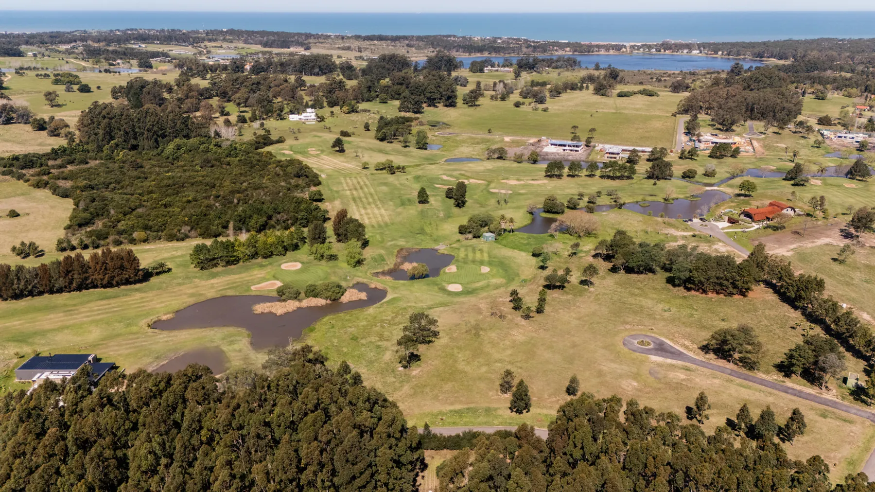
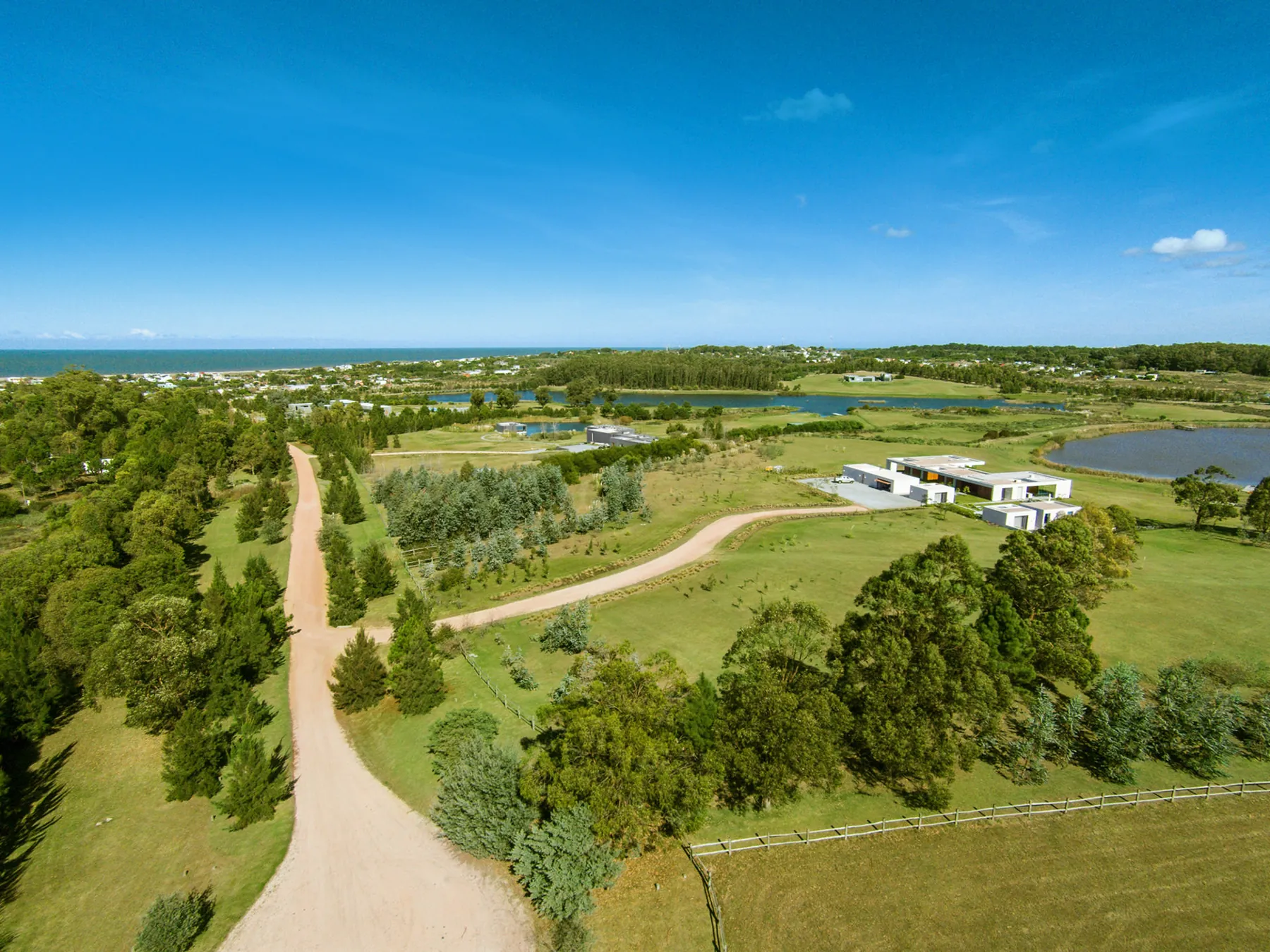
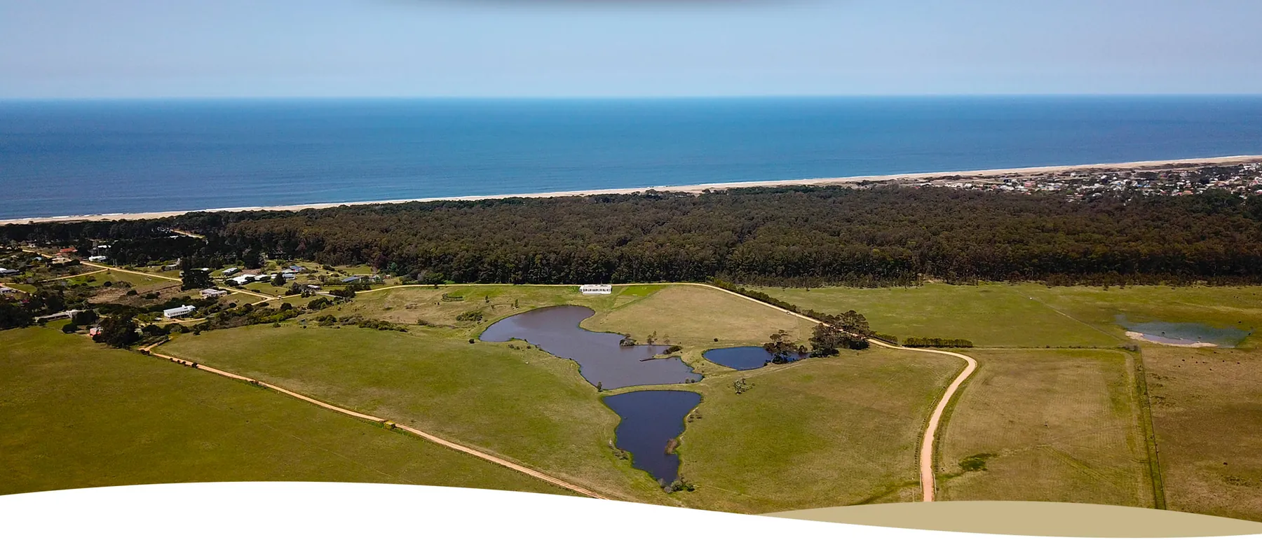
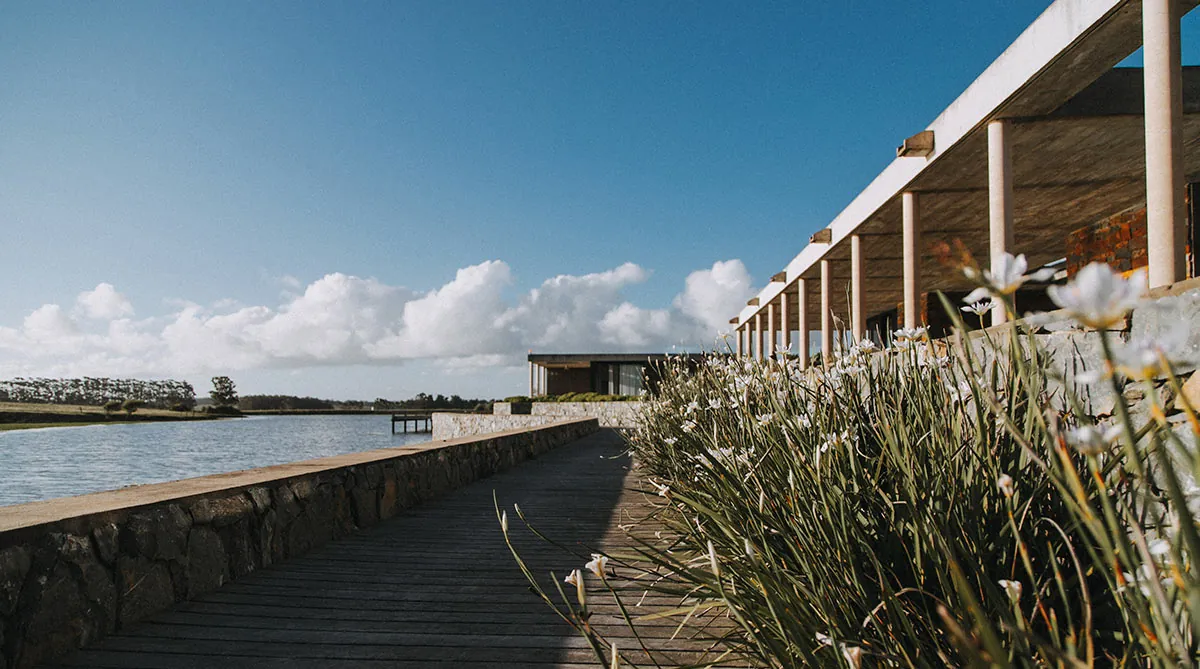
Lomas de San Vicente is a gated community of large lots and small farms in San Vicente, on Route 10 at km 170, halfway between Manantiales and José Ignacio. The official site places it about 700 metres from the sea, 5 minutes from Manantiales and 10 from José Ignacio. The lots lie north of the road on rolling land, and almost all of them have sea views; there is no beachfront of its own.
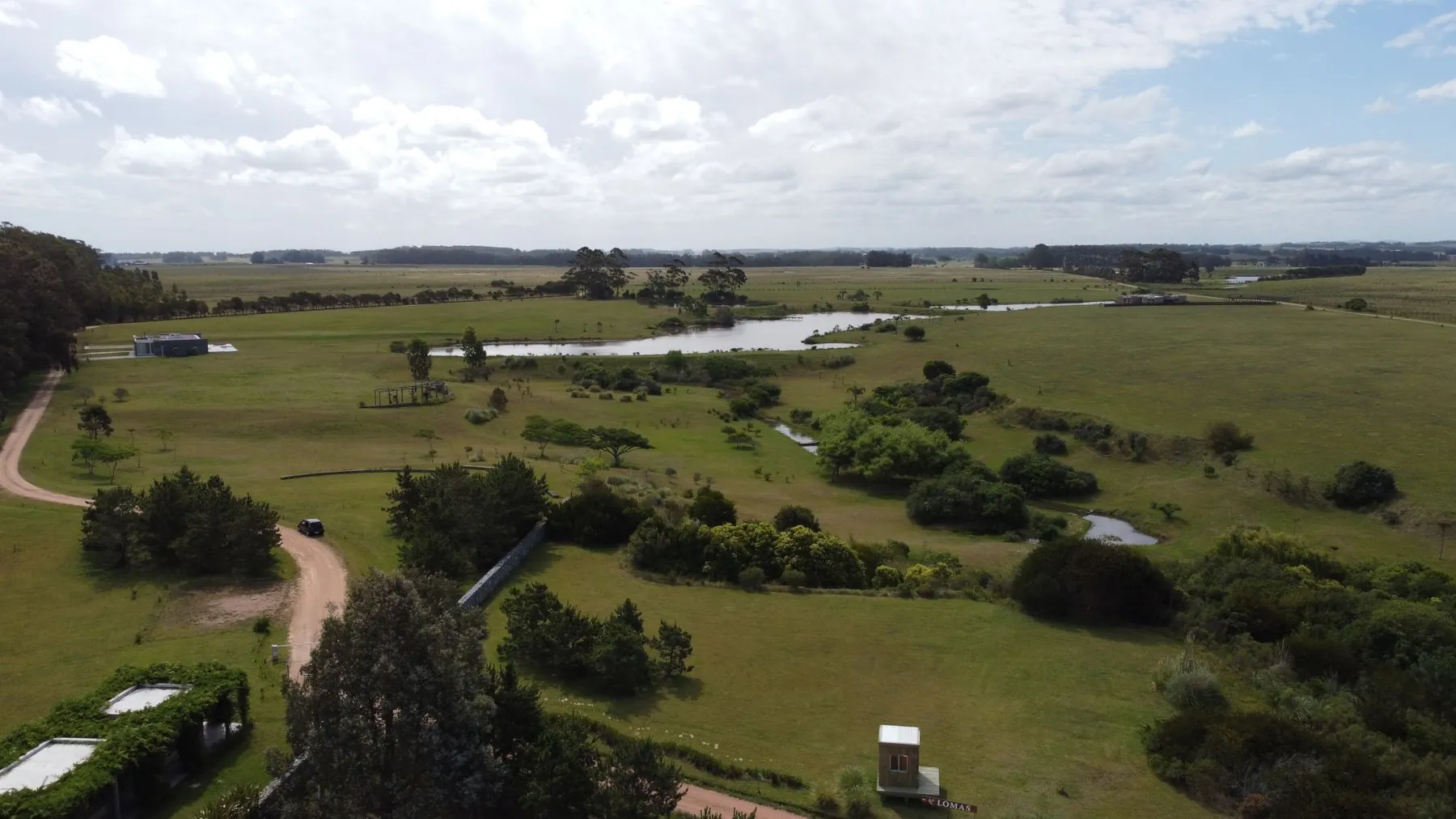
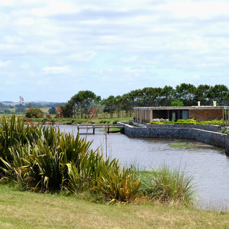
The official site lists 27 lots from 5,000 m² and only 4 farms of 5 to 5.5 hectares, each with a private lake. Half of the land is kept as green space, with three lakes and a stream; a 2017 El País article mentions 54 hectares and seven lakes. The lots are approved by the municipality as a gated neighbourhood and the infrastructure is described as finished.
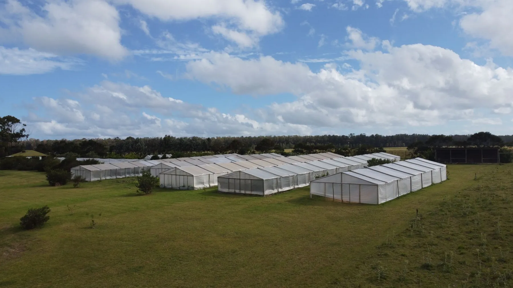
Services include mains water, underground power, telephone and fibre optics to every lot. Security relies on a perimeter fence, controlled access, cameras and on-site guards. In 2017 the estate had a lakeside club house with a spa, gym, tennis and squash courts, stables and an organic garden of about 3,000 m². Two small boutique hotels also operate inside.
The 2017 press credited the project to Balsa & Galotti; the official site now presents it as an MF Group development, with in-house financing of 50% over 12 months. It suits buyers who want large plots near the sea with farm-style services, somewhere between a country club and an estancia.
Photos
On site
- Club house
- Tennis
- Lagoons
- Equestrian
- Gym
- Spa
- Orchard & vineyard
Fact sheet
Land
Costs
- Lot price
- no data
- Price per m²
- no data
- HOA fees
- no data
- Entry fee
- no data
Location
Building rules
- Minimum house
- no data
- Maximum height
- no data
- FOS (site coverage)
- no data
- FOT (floor area ratio)
- no data
- Time to build
- no data
- Architecture committee
- no data
- Legal regime
- no data
Utilities and security
Community rules
- Pets
- no data
- Short-term rental
- no data
20 fields are still missing. Do you live or sell here? Write to us and we’ll complete it.
Distances
By road, computed with OpenStreetMap and OSRM. Estimated driving time without traffic.
Towns and airports
- La Barra
- 11.7 km16 min
- José Ignacio
- 14.7 km16 min
- Maldonado
- 21.7 km30 min
- Punta del Este
- 22.4 km28 min
- Punta del Este airport
- 38.5 km50 min
- Piriápolis
- 58 km72 min
- Atlántida
- 110.5 km106 min
- Carrasco airport
- 137.8 km135 min
- Montevideo
- 155.4 km159 min
Nearest services
- Beach
- 1.2 km2 min
- SupermarketCharruas
- 4.4 km6 min
- Pharmacy
- 4.5 km6 min
- ClinicPoliclinica La Barra
- 11.6 km16 min
- HospitalHospital Británico
- 19.8 km26 min
- SchoolCEA 102
- 4.1 km6 min
- Gas station
- 4 km6 min
- RestaurantFilippo
- 9.6 km13 min
- Golf courseLa Barra Golf Club
- 10.5 km13 min
Location
Approximate location
Sources
Where each figure came from. Bracketed numbers next to values point to this list.
-
lomasdesanvicente.com Confirmed, checked on 30.09.2026
-
elpais.com.uy Single source, checked on 30.09.2026
-
lomasdesanvicente.com Confirmed, checked on 30.09.2026
-
covellouruguay.com Single source, checked on 30.09.2026
Covello: «Pueblo San Vicente, Ruta 10 Km 170.800», Barrio Privado, construcción terminada
-
openstreetmap.org Estimate, checked on 30.09.2026
-
lomasdesanvicente.com Estimate, checked on 30.09.2026
-
project-osrm.org Estimate, checked on 30.09.2026
Similar communities
ManantialesRuta 104 km 5
Pueblo Mío Chacras de Manantiales
160 ha180 lots4,000 m²
Lots from U$D 230k
Profile 67%