- 30,000 – 70,000
- Lot size, m²
- 91 ha
- Total area
- 13
- Number of lots
About
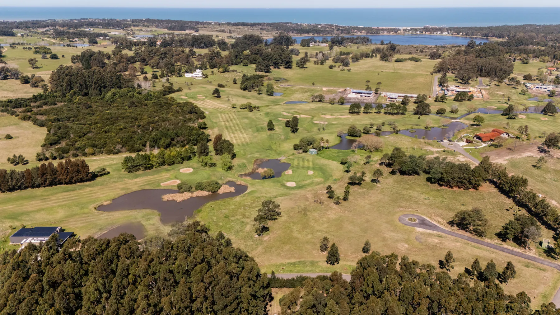
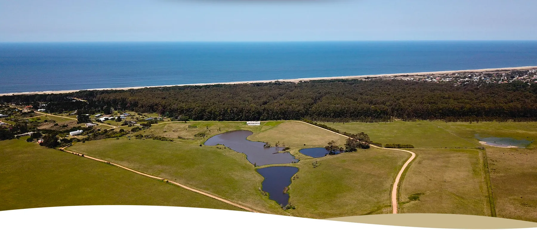
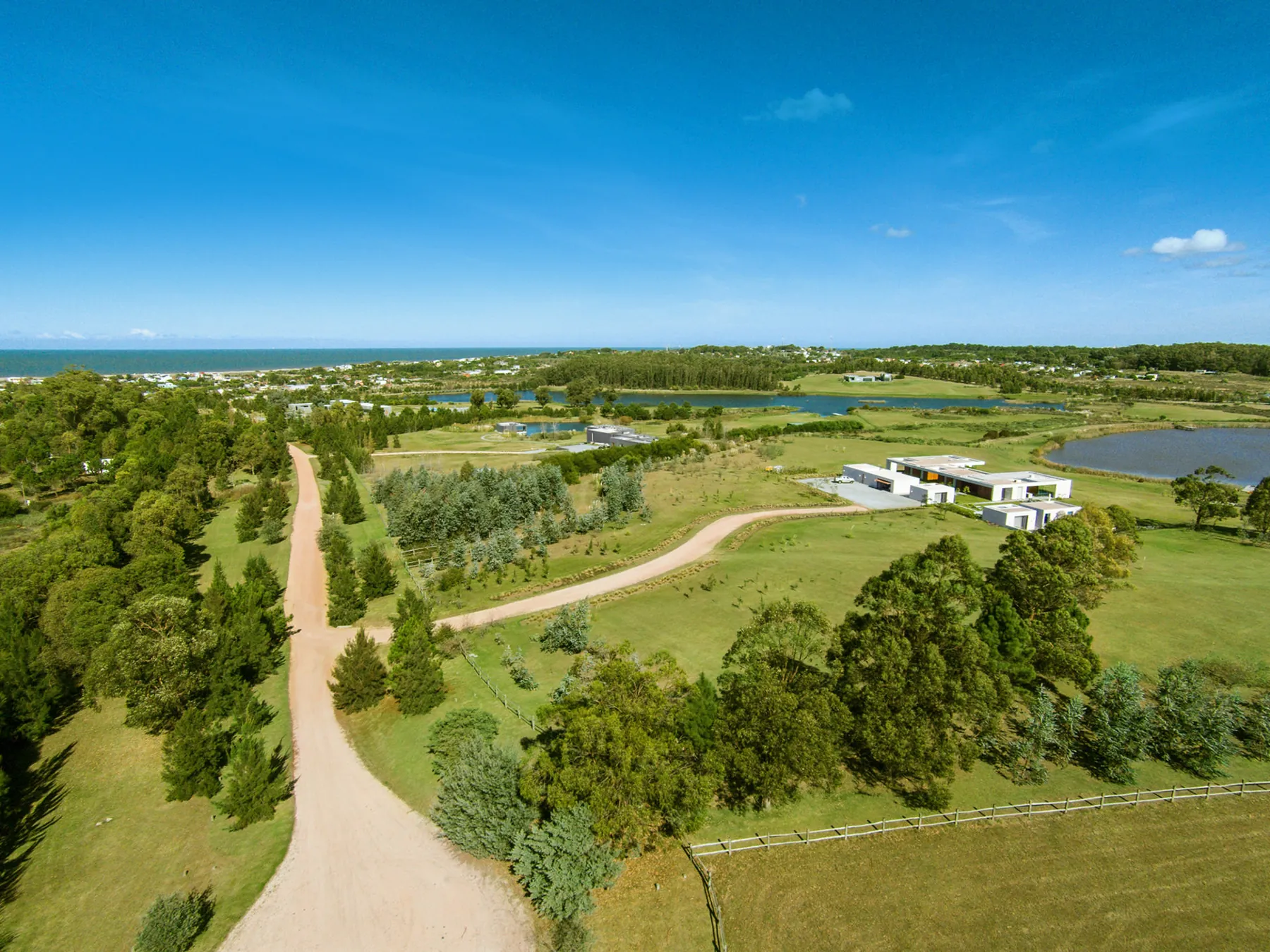
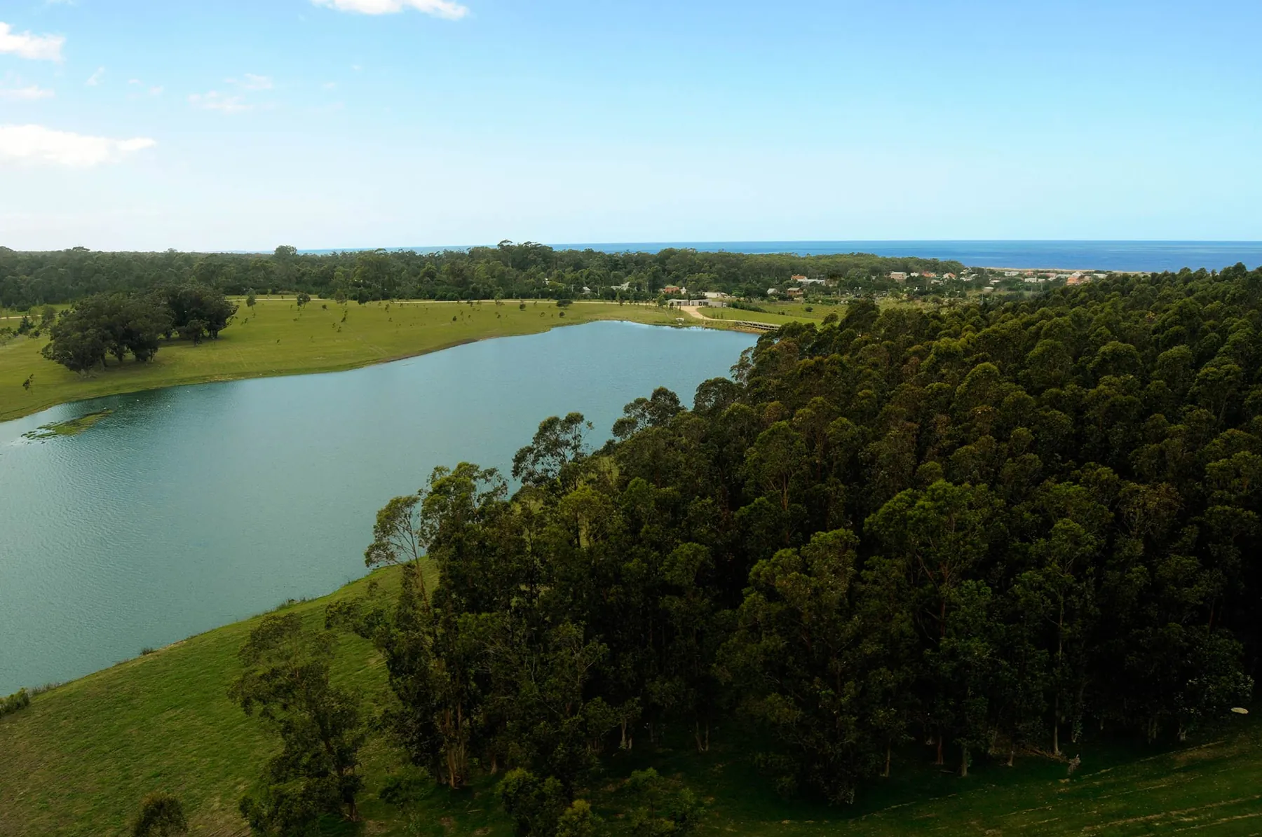
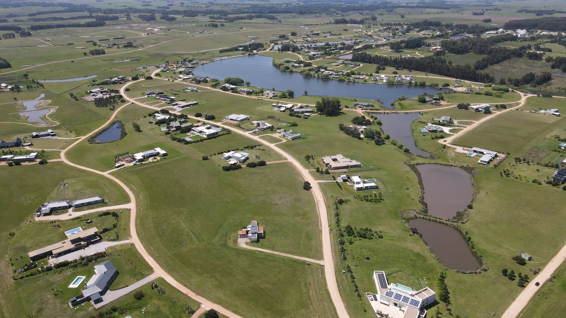
Villalagos is a very low-density gated community in the Manantiales area, on Ruta 10 at km 167 (Balneario Buenos Aires). Its 91 hectares of farmland hold just 13 chacras of 3 to 7 hectares; 34 hectares are common land and the private lakes cover about 15. It is about 500 metres from the sea and 3 km from Manantiales' restaurants.
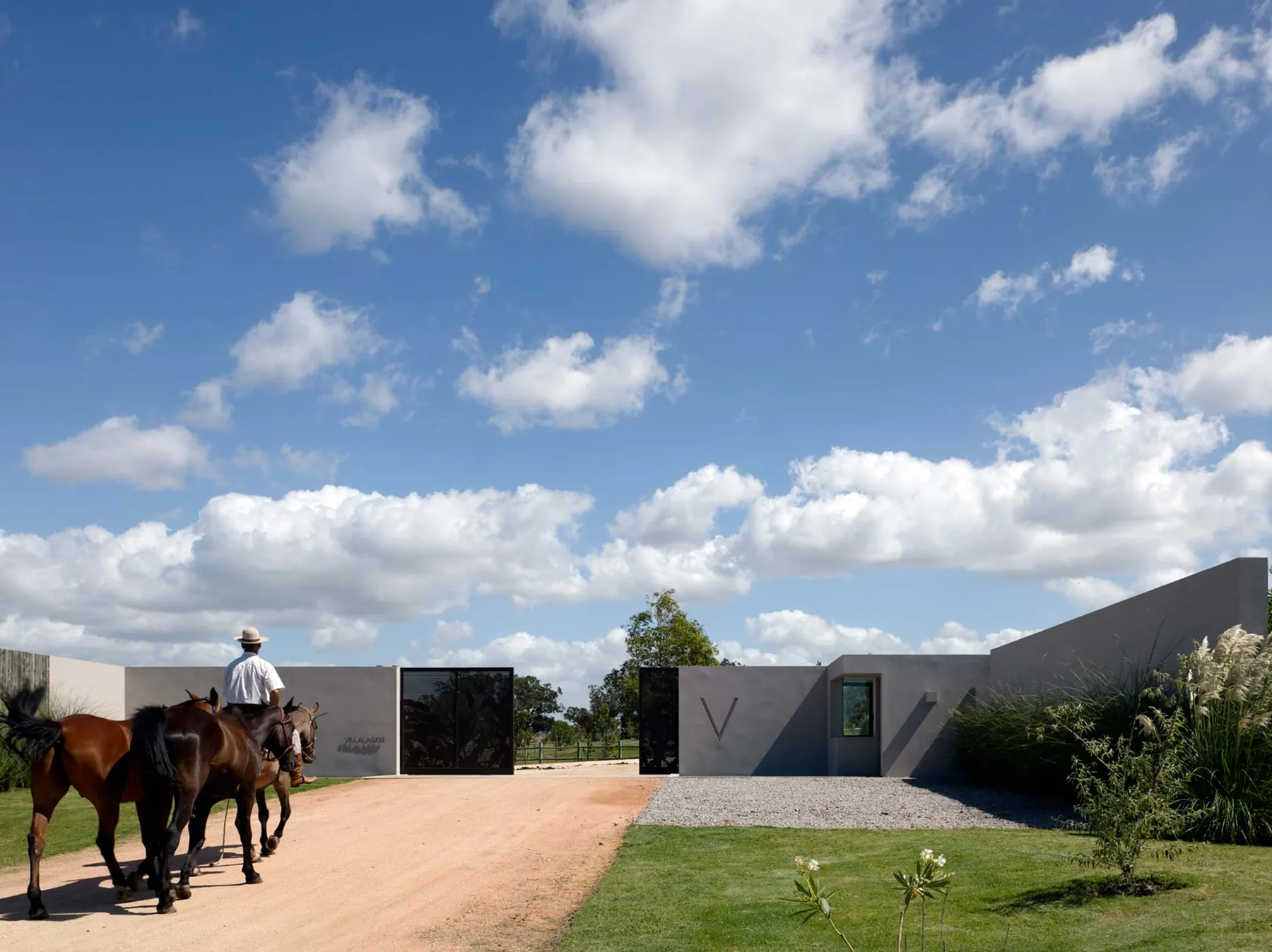
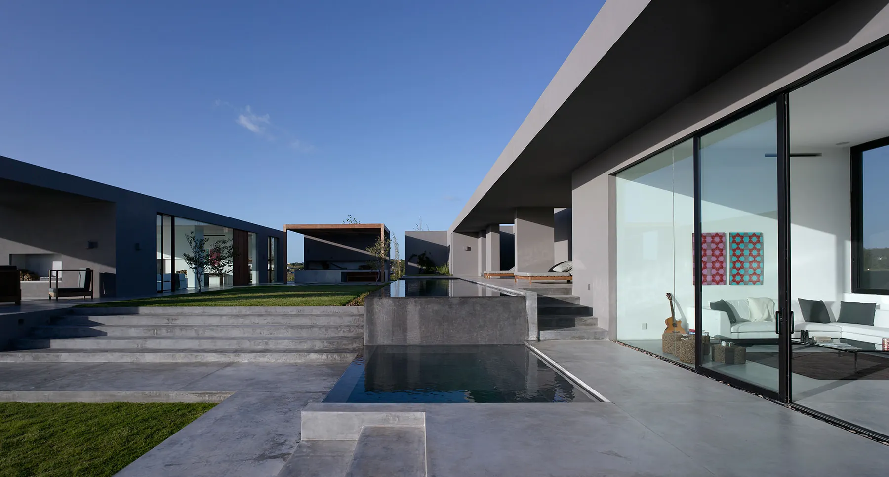
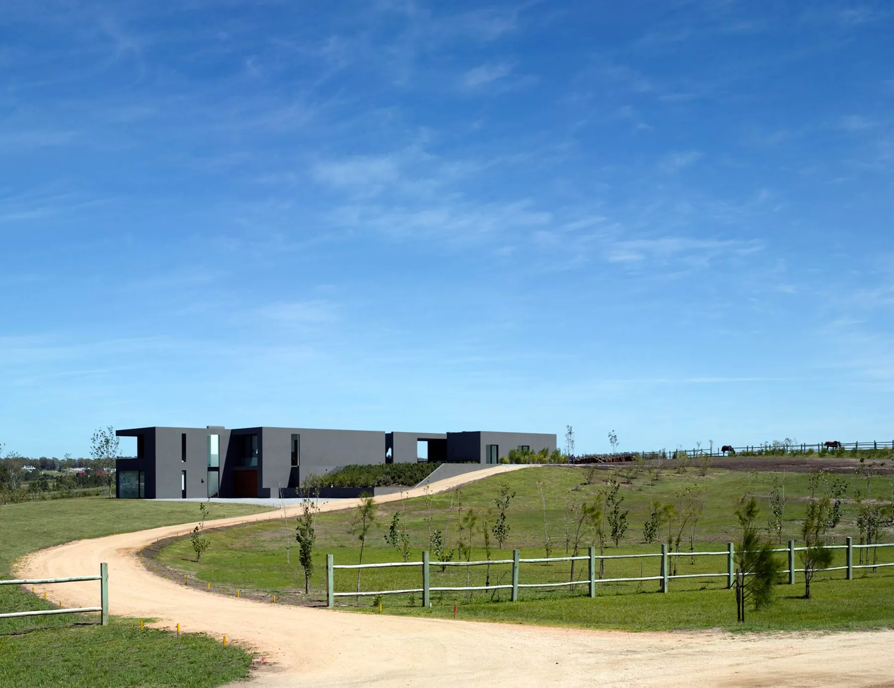
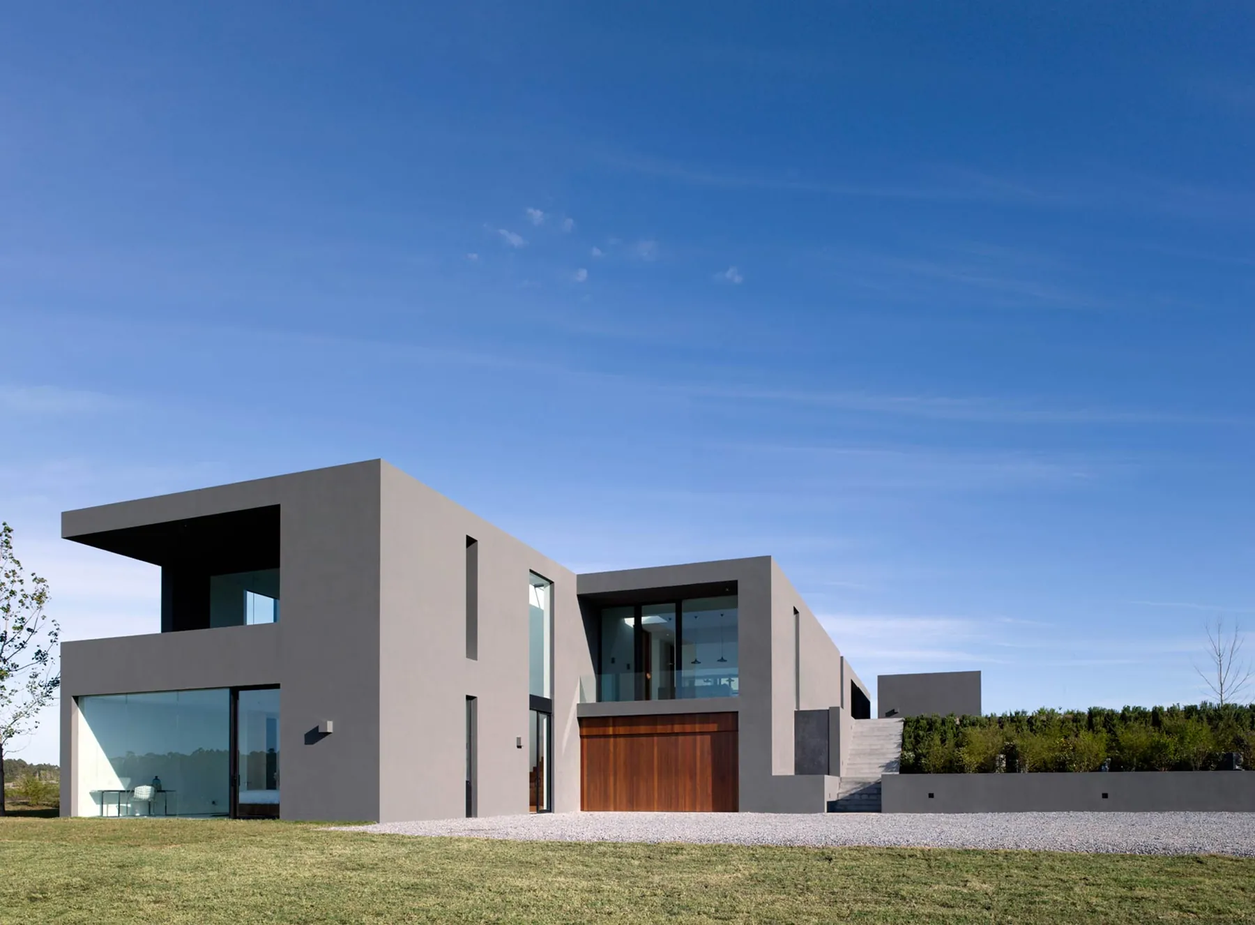
It was developed by Obsidian Uruguay Ltd, with partners from the UK, South Africa and Germany, and is registered as horizontal property under Law 17.292. The houses and the overall scheme were designed by Kallos Turin, whose Villalagos work won a RIBA International Award in 2010. The homes are modern minimalist: stucco, glass and flat roofs set among green slopes and mature eucalyptus.
Internal roads are deliberately left as gravel. The common areas include lakes (non-motorised water sports are allowed), woods, trails for walking, riding and cycling, and an organic community garden. There is a single entrance with 24-hour private security, and the perimeter is fenced.
The rules are strict: houses of 350 to 1,800 m² (terraces included), a 7 m height limit, 20% site coverage and a 40% total floor-area ratio, designs approved by an architecture committee, and construction to be finished within 12 months of starting. Dogs and cats are welcome, as are horses or sheep; homes may be let to third parties. Six houses have been built; one listing offers a 3-hectare chacra with a 680 m² house at U$D 3,000,000.
Photos

On site
- Lagoons
- Equestrian
- Orchard & vineyard
- Trails
Fact sheet
Land
Costs
- Lot price
- no data
- Price per m²
- no data
- HOA fees
- no data
- Entry fee
- no data
Location
Building rules
Utilities and security
11 fields are still missing. Do you live or sell here? Write to us and we’ll complete it.
Distances
By road, computed with OpenStreetMap and OSRM. Estimated driving time without traffic.
Towns and airports
- La Barra
- 8.4 km13 min
- Maldonado
- 18.4 km28 min
- José Ignacio
- 18.8 km20 min
- Punta del Este
- 19.1 km26 min
- Punta del Este airport
- 35.2 km47 min
- Carrasco airport
- 134.5 km132 min
- Montevideo
- 152.1 km157 min
Nearest services
- Beach
- 1.9 km4 min
- SupermarketEl Dorado
- 1.4 km3 min
- Pharmacy
- 1.4 km4 min
- ClinicPoliclinica La Barra
- 8.3 km13 min
- HospitalHospital Británico
- 16.5 km24 min
- SchoolEscuela 102
- 1.9 km5 min
- Gas station
- 2.1 km5 min
- RestaurantFilippo
- 6.3 km10 min
- Golf courseLa Barra Golf Club
- 7.2 km11 min
Location
Sources
Where each figure came from. Bracketed numbers next to values point to this list.
-
web.archive.org Confirmed, checked on 30.09.2026
-
web.archive.org Confirmed, checked on 30.09.2026
-
web.archive.org Confirmed, checked on 30.09.2026
-
aeu.com.uy Single source, checked on 30.09.2026
-
drhousebienesraices.com.uy Single source, checked on 30.09.2026
-
youtube.com Single source, checked on 30.09.2026
-
openstreetmap.org Confirmed, checked on 30.09.2026
-
project-osrm.org Estimate, checked on 30.09.2026
Similar communities
ManantialesRuta 104 km 5
Pueblo Mío Chacras de Manantiales
160 ha180 lots4,000 m²
Lots from U$D 230k
Profile 67%