- U$D 60k
- Lots from
- 4,000 – 50,000
- Lot size, m²
- 132 ha
- Total area
- U$D 150
- HOA fees
About
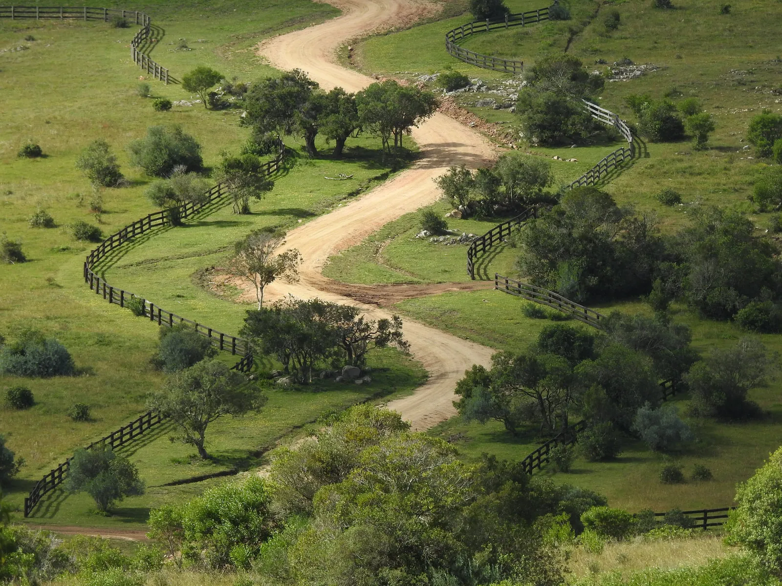
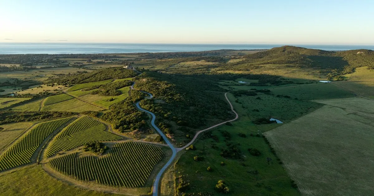
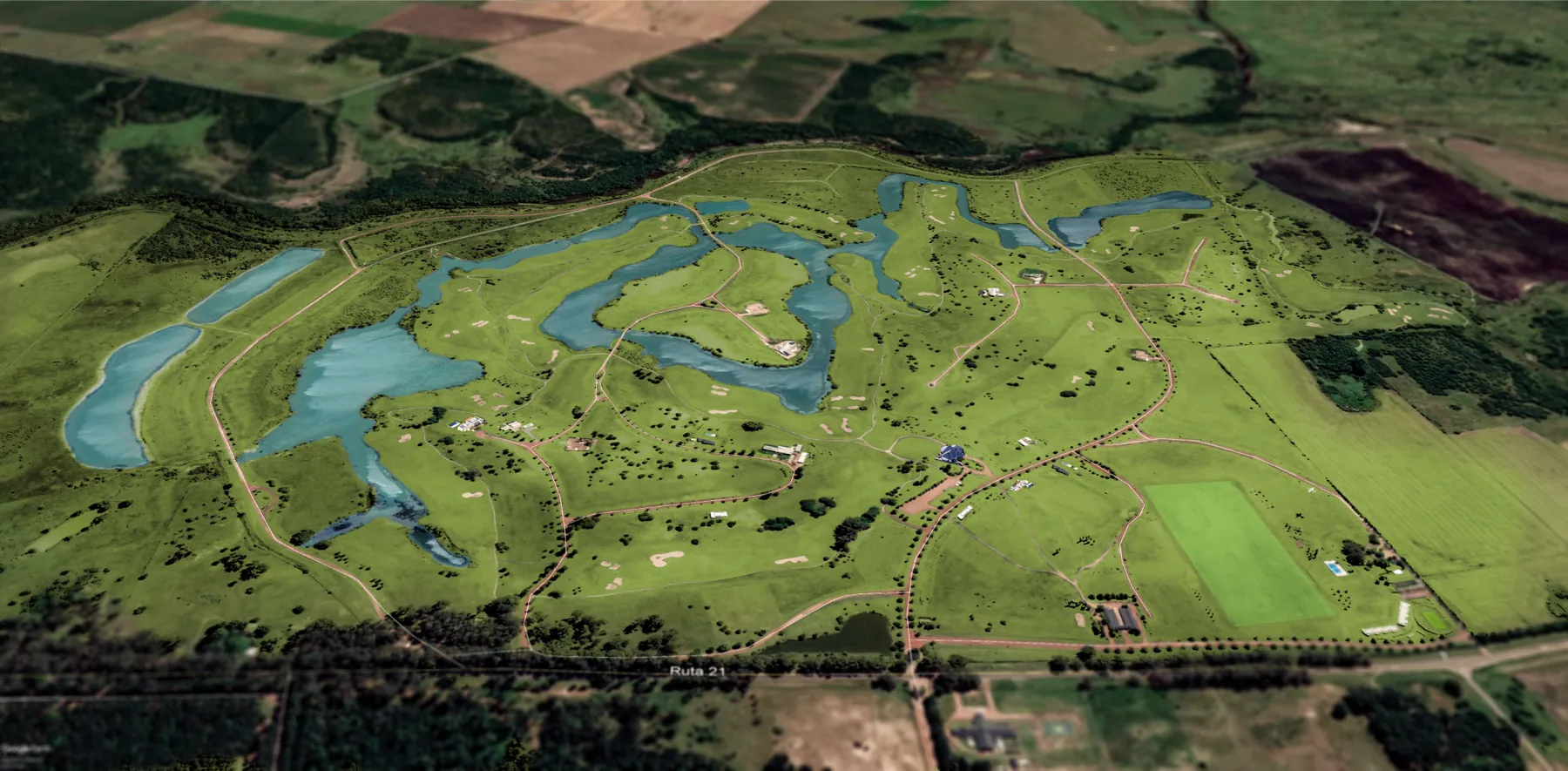
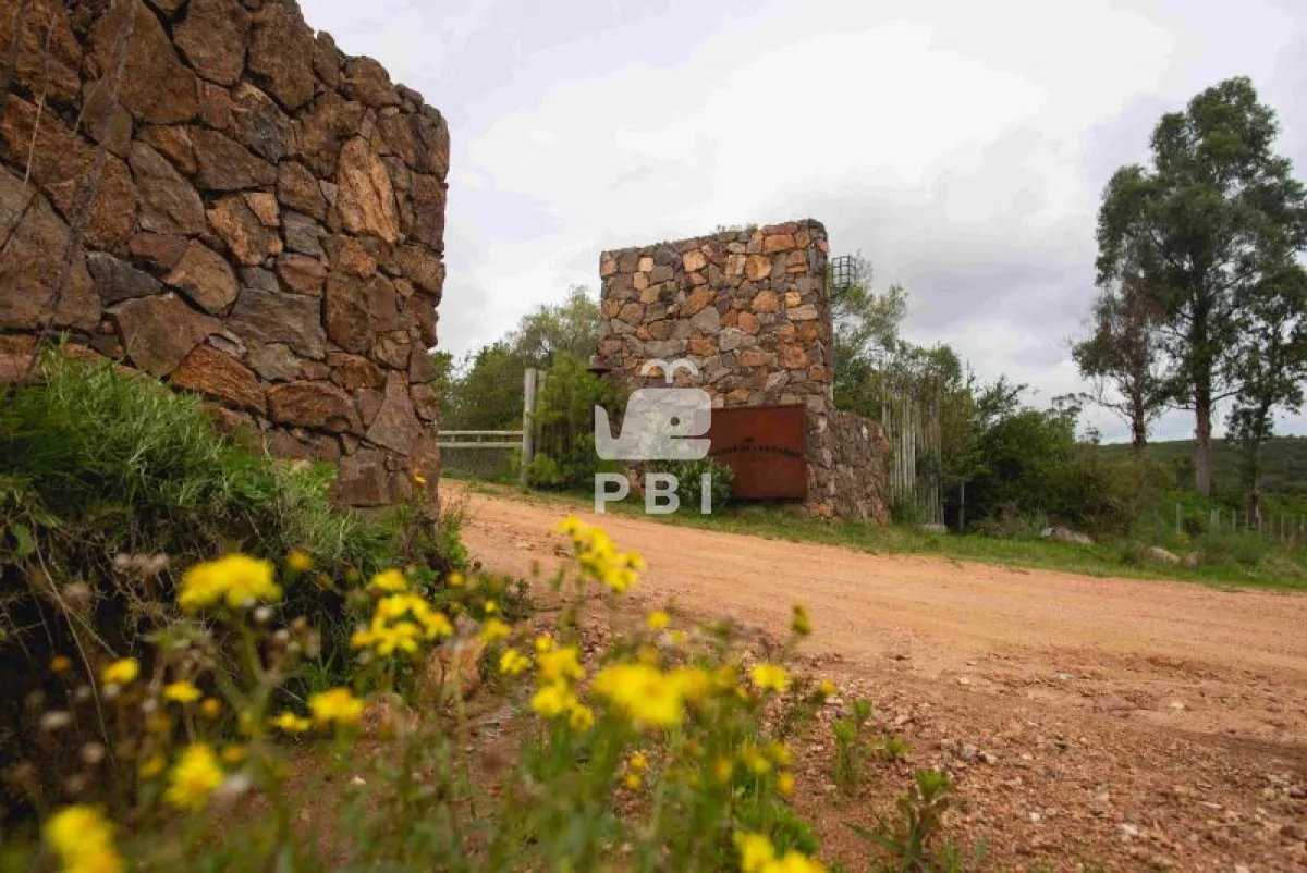
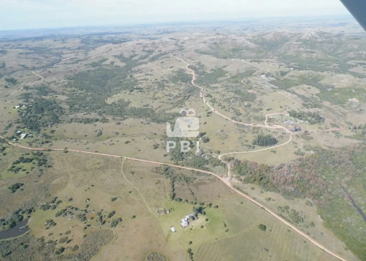
Chacras de Las Cañas is a country club of about 132 hectares in the Sierra de las Cañas hills, at km 46.5 of Ruta 39 in inland Maldonado. The land is divided into 4,000 m² lots and 5-hectare farm plots, with about 40 hectares kept as common areas. It was developed by the Liberman family.
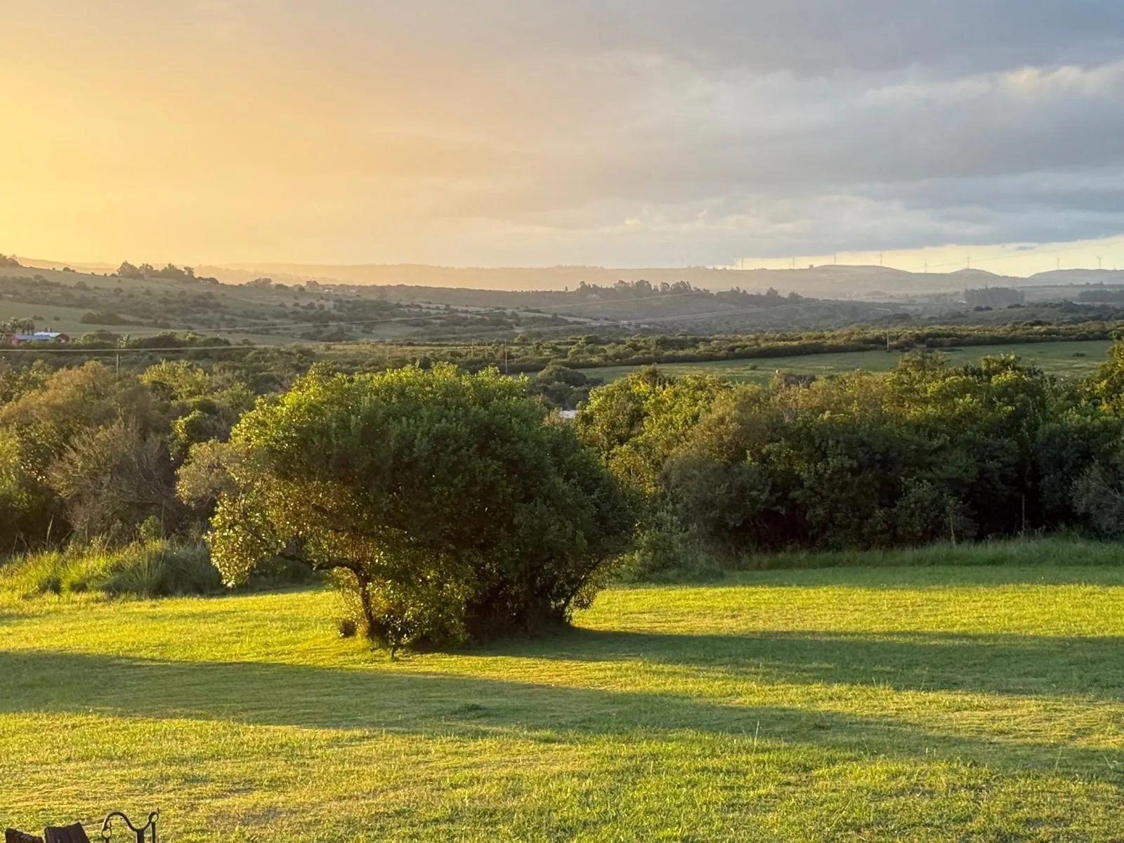
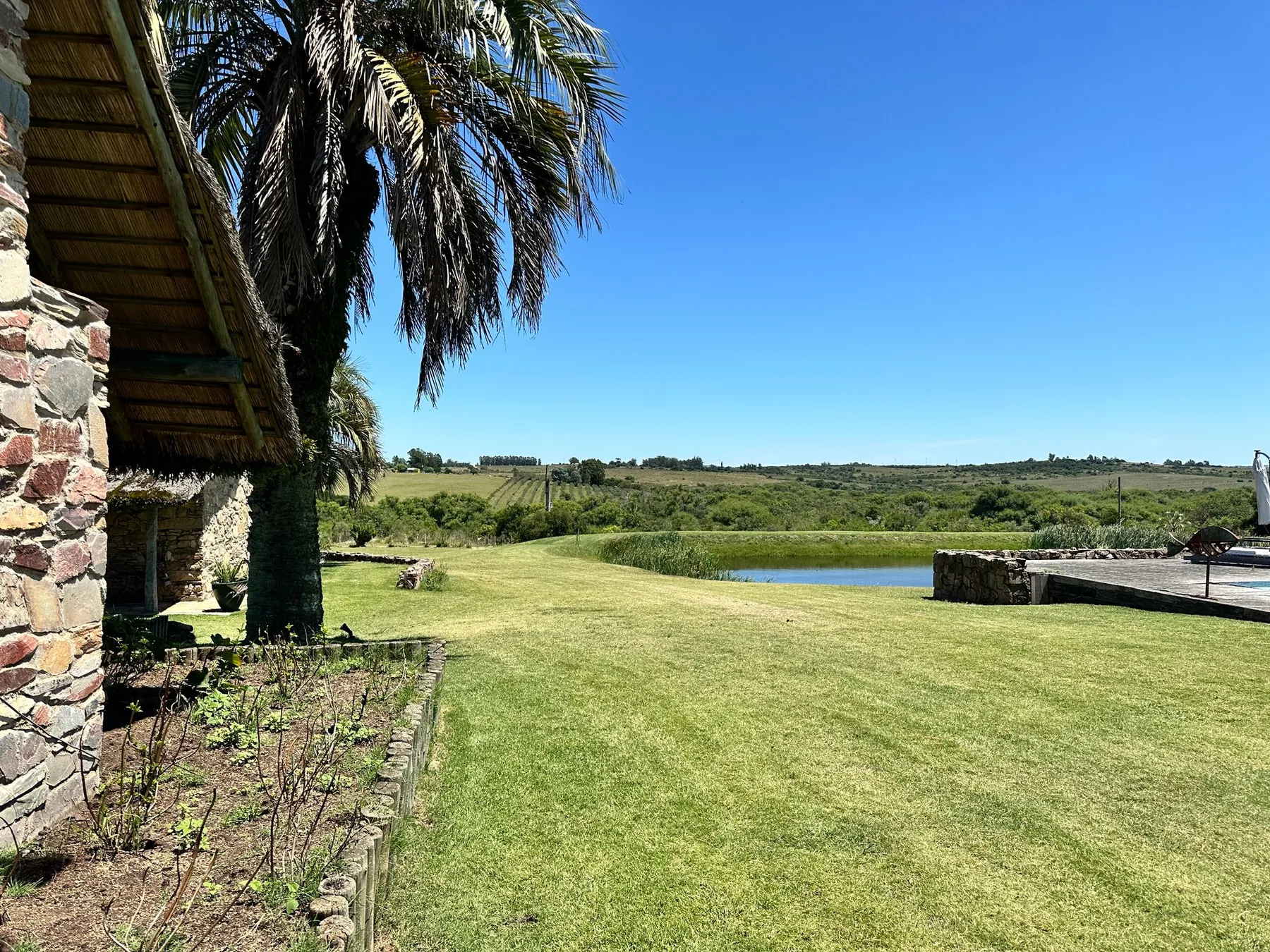
It is far from the coast: the developers quote a drive of about 40 minutes to Punta del Este (roughly 55 km by road), and it lies halfway between San Carlos and Aiguá. The landscape is hilly, with granite outcrops, native woodland and streams, including the Arroyo de las Cañas; the area was settled in the late 19th century by families working in the granite quarries.
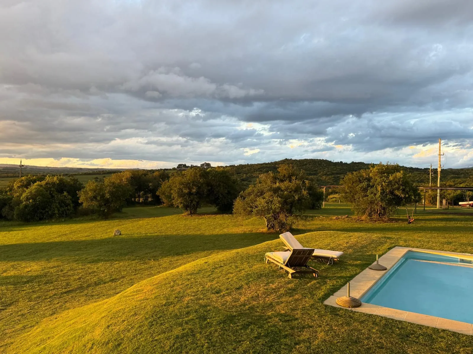
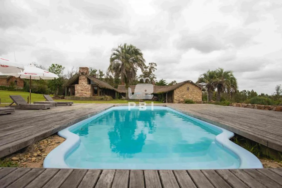
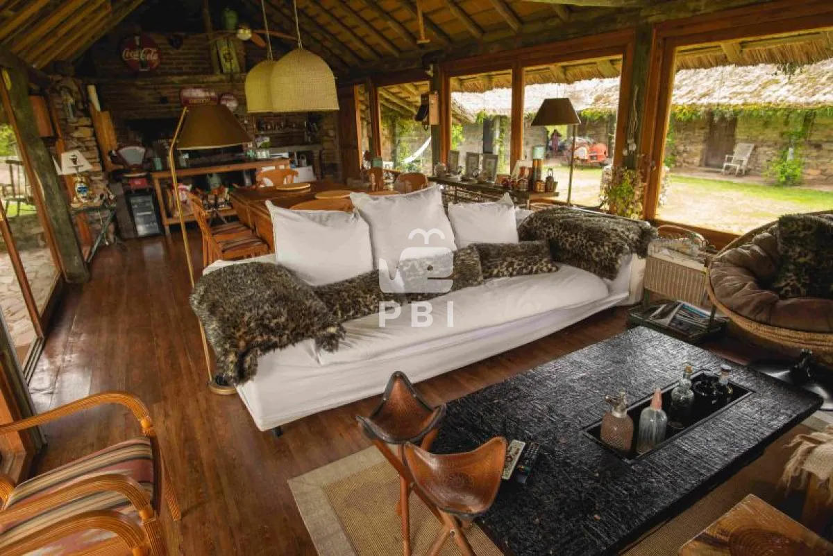
The common areas include a club house with a bar, a pool with sun deck, two barbecue areas (open and covered), a spa, a lookout point, stables, an organic vegetable garden, a small farm with a greenhouse, a fire pit and a children's play area. There are also guest rooms that owners can use at low cost while they build. The current official website also offers plots and vineyards within the project.
Every house design must be approved by the club to keep a style in keeping with the setting. Buyers pay a 5% occupancy fee, and common charges are estimated at about U$D 150 a month. Press articles quoted 4,000 m² lots from U$D 60,000 and 5-ha farms from U$D 150,000–200,000; in 2026 an agency lists lots at U$D 80,000.
It suits buyers looking for country life, horses and quiet at prices far below the coast, who accept the distance from the beach and from Punta del Este's services.
Photos
On site
- Club house
- Pool
- Equestrian
- Playground
- Spa
- Orchard & vineyard
Fact sheet
Land
Location
Building rules
- Minimum house
- no data
- Maximum height
- no data
- FOS (site coverage)
- no data
- FOT (floor area ratio)
- no data
- Time to build
- no data
- Architecture committee
- Yes2
- Legal regime
- no data
Utilities and security
- Water
- no data
- Sewage
- no data
- Fiber internet
- no data
- Paved streets
- no data
- 24 h security
- no data
- Closed perimeter
- no data
Community rules
- Pets
- no data
- Short-term rental
- no data
19 fields are still missing. Do you live or sell here? Write to us and we’ll complete it.
Distances
By road, computed with OpenStreetMap and OSRM. Estimated driving time without traffic.
Towns and airports
- Maldonado
- 45.6 km48 min
- Punta del Este
- 51.4 km55 min
- La Barra
- 54 km57 min
- Punta del Este airport
- 57.5 km63 min
- José Ignacio
- 59.9 km63 min
- Piriápolis
- 71.5 km72 min
- Atlántida
- 111.5 km104 min
- Carrasco airport
- 138.8 km132 min
- Montevideo
- 156.4 km157 min
Nearest services
- Beach
- 51.9 km54 min
- SupermarketMercado Alvariza
- 31.2 km32 min
- PharmacyCedemcar
- 31.2 km32 min
- ClinicPoliclinica Seem Mautone
- 31.3 km32 min
- HospitalSanatorio San Carlos
- 31.5 km33 min
- SchoolEscuela 62
- 2.7 km6 min
- Gas station
- 30.1 km30 min
- RestaurantPizza Braza
- 31.7 km33 min
- Golf courseFasano Las Piedras
- 43.5 km51 min
Location
Sources
Where each figure came from. Bracketed numbers next to values point to this list.
-
chacrasdelascanas.com Confirmed, checked on 30.09.2026
-
puntadelesteinternacional.com Single source, checked on 30.09.2026
-
amarras.com.uy Single source, checked on 30.09.2026
Amarras: «sobre la Ruta 39 en el kilómetro 46,5, en un terreno de más de 130 hectáreas se definen lotes de 4.000 m2 y chacras de 5 hectáreas cada una y 40 hectáreas de espacios comunes», «chacras de 4000 mts a U/$S 60.000», «chacras de 5 hectáreas de
-
pbiinmobiliaria.com Single source, checked on 30.09.2026
-
facebook.com Single source, checked on 30.09.2026
-
infocasas.com.uy Single source, checked on 30.09.2026
-
openstreetmap.org Estimate, checked on 30.09.2026
-
openstreetmap.org Estimate, checked on 30.09.2026